

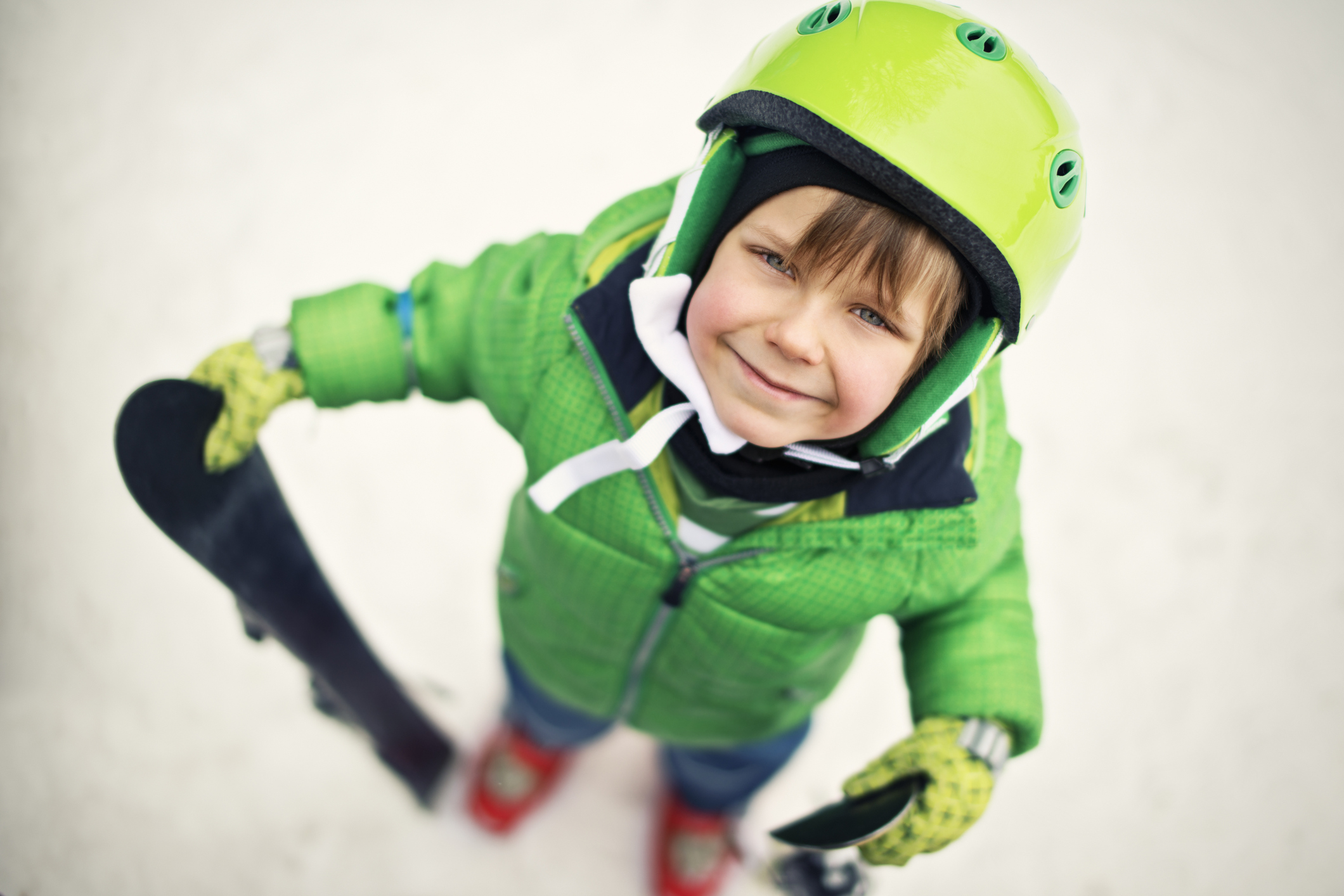
As I write this, a light snow is falling outside my window. But just an hour east of me, near the bottom of the Silver Fir Express lift at the Summit at Snoqualmie, there is already half-a-foot of new snow. At the Stevens Pass East Summit, Highway 2 looks like it could use a good plow.
How do I know this? An app that cost me $1.99. CascadeSkier shows conditions and footage from various Cascade ski areas, from Mt. Hood in Oregon to Whistler in Canada. With such built-for-the-hills apps, a snow-lover’s phone can be a crystal ball — and that’s just the beginning.
A flurry of options
In the world of outdoor tech, there are a variety of choices, from GPS trackers for ski school students to 3D mapping and location tracking apps to technology that allows athletes with disabilities to enjoy the outdoors. Take, for example, the Cardo Systems scala rider Q3 device.
Originally designed for motorcyclists, a visually impaired skier and an instructor can each add one of these small devices to their respective helmets to allow for easy communication on the slopes. “What we try to do is give someone the tools to be as independent as possible”, says Dan Retallieau of the Outdoors for All Foundation, a Seattle-based nonprofit that provides outdoor recreation opportunities for people with disabilities and which uses the Q3 device.
Tech is expanding on the slopes like a snowball barreling down the mountain. Much of it is über useful, whether for safety, planning, education and, sometimes, humble bragging. My husband took great pleasure last season in proving to our kids that he traveled 27,000 vertical feet in five hours while on a Colorado ski trip. Thanks to his Ski Tracks app he could report his top speed of 60 miles per hour, the steepest slope being 35 degrees.
A quick note on disconnecting
Of course, there can be too much of a good thing. For instance, did you know that for a mere $1,179 (or, when not on sale, $1,629), RideOn goggles will add augmented reality to your outdoors experience? Virtual maps in a heads-up display, Facebook Live, HD video recording and soon, gaming capabilities?
I’m thrilled to report that my 15-year-old son, an avid skier, does not have those goggles on his gift list, telling me that going down steep slopes is fun enough. Whew. Not only do I think gaming would take away from the experience, distracted skiing is no better than distracted driving or walking (think Pokémon Go).
“Skiing is a great way to enjoy the pureness without mucking it up with technology,” says Brian Gierke, owner of Gerk’s Ski and Cycle. “You don’t want to have to worry about having your battery charged.”
Gierke recalls the time he went skiing with a friend who had splurged on hi-tech Oakley Airwave goggles. With a price tag of $550, they could track top speed, vertical drop speed and share footage with friends. But turns out Gierke’s friend forget to charge the batteries before they hit the slopes. The goggles? They ended up serving as just, well, eye protection.
Not that there aren't a few cool features...
Of course, the right tech can earn a spot on the slopes. Here are a few examples:
Apps that help with ski school
Last year Mandy Knoop of Puyallup took her children and her friend Melinda Logan’s two sons skiing at Big White Ski Resort in British Columbia. Upon checking in for their ski lessons, the young students each got ankle bracelets to wear. These tracked the kids’ movements on the slopes and sent Logan, who was back home in Washington state, an email summarizing her kids’ specific runs, speeds and vertical distance. Logan says she found the twice-daily updates and the option to review her kids’ ski day helpful.
“For parents who are leery of taking their kids on certain runs, they’ll have a better idea of what their kids can do,” she says of an additional benefit to the information. “Parents don’t want to take the family on a run and then get stuck because they’re not able to get out.”
Steve Kenny, CEO of Flaik, the company that makes the ankle bracelet, says its most important function is to help skiers who may take a wrong turn or get separated from their class; the bracelet transmits the wearer’s location, which the ski lodge can then share with emergency authorities.
“If you’ve got a kid who goes down the wrong trail but it’s 4 o’clock and down to 10 or 15 degrees, you want to make sure you reconnect [him or her] as quickly as possible,” Kenny says.
Locally, Whistler Blackcomb Ski Resort and, as of Dec. 20, Crystal Mountain Resort will begin using the Flaik system.
Apps that help with location and safety
Fatmap is a catchy app that features 3D mapping; it’s being used at resorts around North America, including Whistler Blackcomb, Crystal Mountain and Big Sky Resort in Montana (with Fatmap currently working on 3D mapping Mt. Hood and Mt. Baker).
For a subscription fee, you can download trail maps for offline use. The app’s free version offers the same features but only with data streaming. The maps show terrain intelligence features including gradient and aspect of any given slope; they also work for summer activities like hiking, too.
My favorite Fatmap feature relates to safety. With one tap, a skier in trouble can call emergency authorities. Crystal Ski patrol director Kim Kircher often thinks about this kind of situation.
“Almost every weekend, a kid gets lost and there is stress until [the family is] reunited,” she says.” If someone goes down and they’re not sure where they are, they can take a screenshot, push a button [and] show ski patrol ‘I am here!’.”
Other apps that can travel with you include the aforementioned Ski Tracks, which allows you to follow your routes and elevation throughout the day and season no matter the ski area. Trace Snow is a similar app in its free version. But pair it with a $199 GPS device that attaches to a ski or snowboard and you can geek out with even more detailed data including speed, vertical distance, airtime, height and jump distance. Plus, Trace Snow includes auto-editing of your best GoPro footage (more on GoPros in a bit).
The app Liftopia offers some local reports but its biggest benefit is the lift ticket discount finder. And for families who prefer to get off the grid, perhaps consider the super simple Avalanche Forecasts. Just one tap shows a given area’s avalanche risk as supplied by the U.S. Forest Service’s National Avalanche Center; it’s a good reference to check before you head out.
Tech that documents your trip
Similar to the famous “If a tree fell in the woods…” question, one might ponder, “If a jump happens in the woods and no one sees it, did it happen?” So, of course, I can’t talk tech on the slopes without mentioning those ubiquitous GoPro cameras. (My own home has three GoPro users.) The top of the line model is the Hero5 Black, which costs roughly $400 and has a waterproof camera. It also includes image stabilization and voice control in seven languages.
If you use a GoPro, know there are risks. More than once, I’ve voiced concerns to my kids about having something mounted to the top of their helmets. I’ve banged my own helmet enough times over the years — and that’s without having something extra to snag and yank me back! (One option to avoid this: Try a GoPro Chesty mount.)
There are also other safety concerns about GoPros. A 2015 study conducted by the University of Québec found people who film themselves while participating in a sport are four times more likely to get injured. The study’s author, University of Québec psychology professor Linda Paquette, suggests that ski resorts run publicity campaigns warning people to not show off for the camera. But whether or not they do so, it’s certainly wisdom that us parents can pass along to our kids.