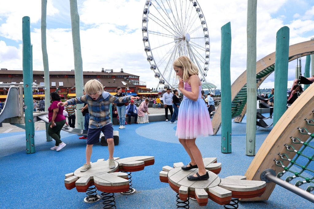
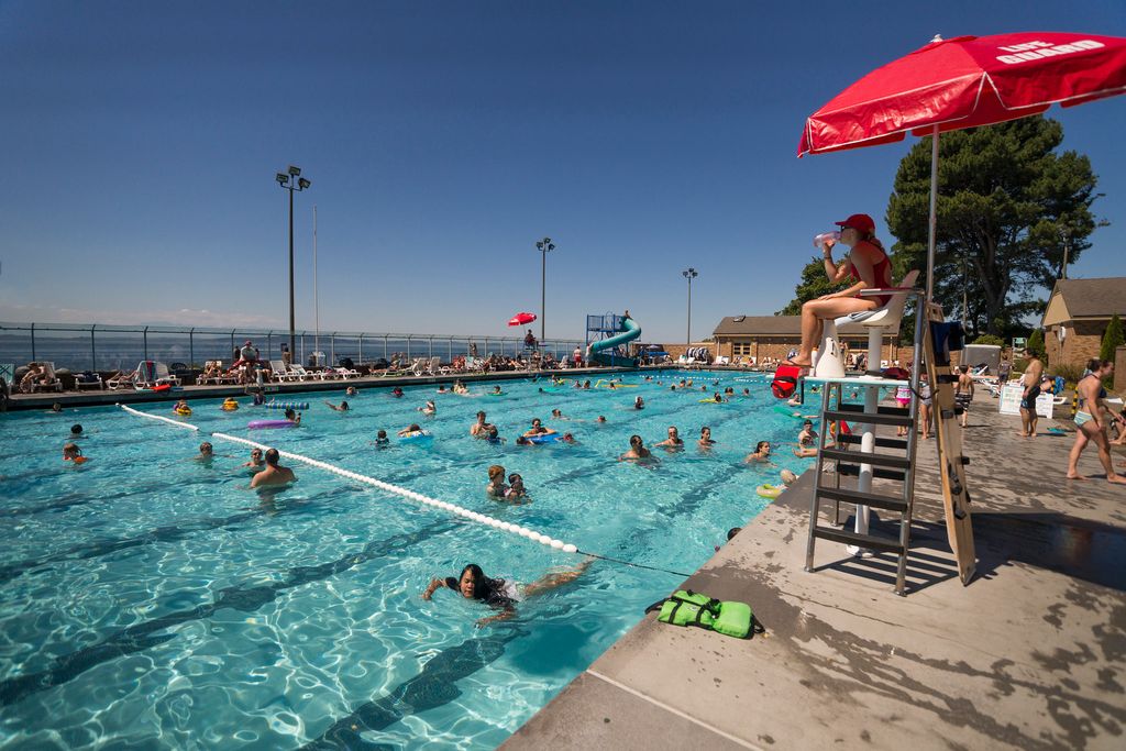
Things to Do
Discover Seattle-area family activities, events, museums, playgrounds, seasonal outings and weekend adventures for kids of all ages.
The Weekender: Your Family Play List
Your weekly guide to the best kid-friendly events and activities across Greater Seattle.
2026 World Cup Guide for Seattle Families
The World Cup is coming to Seattle! Read our playbook for family-friendly FIFA fun around town.
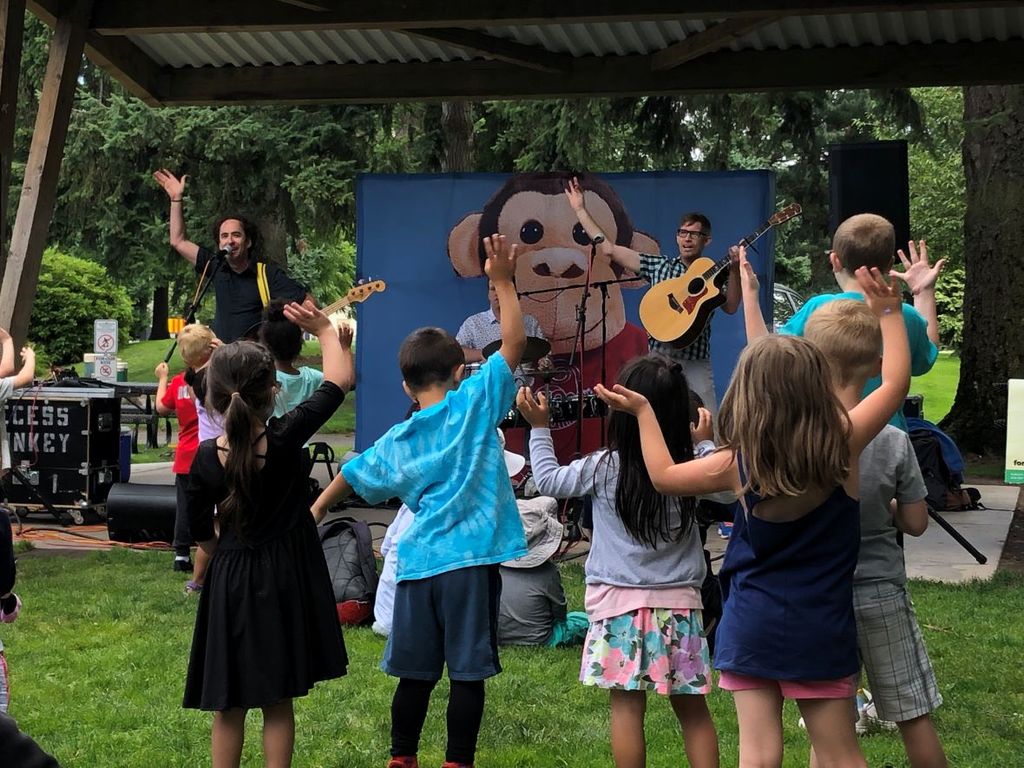
Seattle-Area Family Calendar
Find local events happening from Olympia to Everett — and everywhere in between.
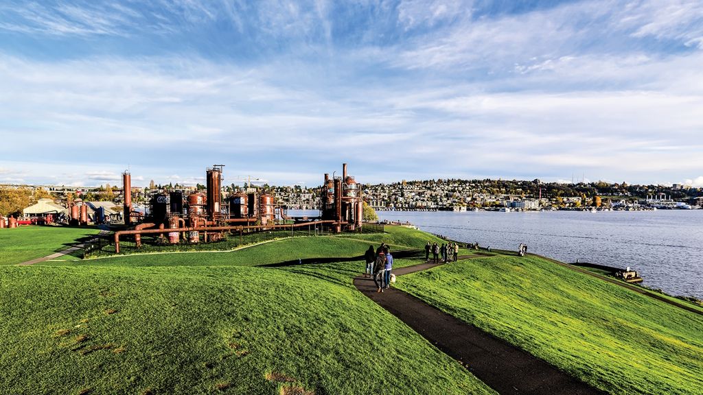
Explore Your Region
Get the Latest Scoop on Parenting in the PNW
Keep up with all the best Greater Seattle family outings and parenting stories with our free email newsletters.
